Story behind images at Nevada High Points #99 – Cocoon Mountains – Trail Option
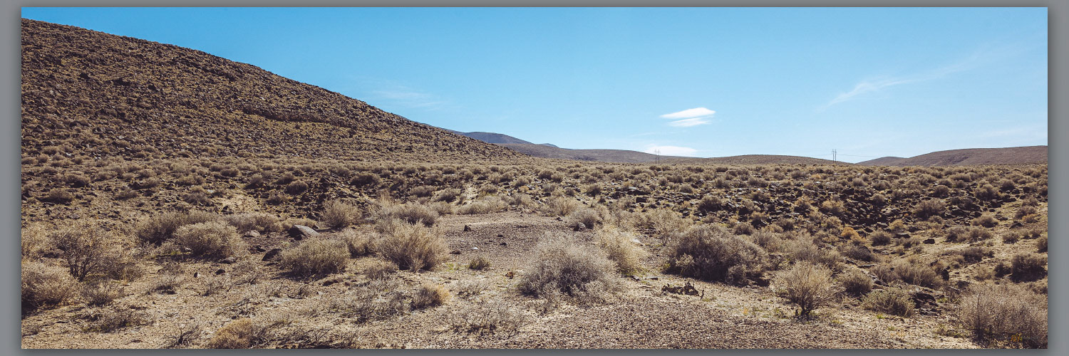
Shoreline features. Intersection of strandlines and the pavement of lacustrine badlands, remnants of pluvial Lake Lahontan on the lower slopes of the Cocoon Mountains, Great Basin Desert, NV, USA
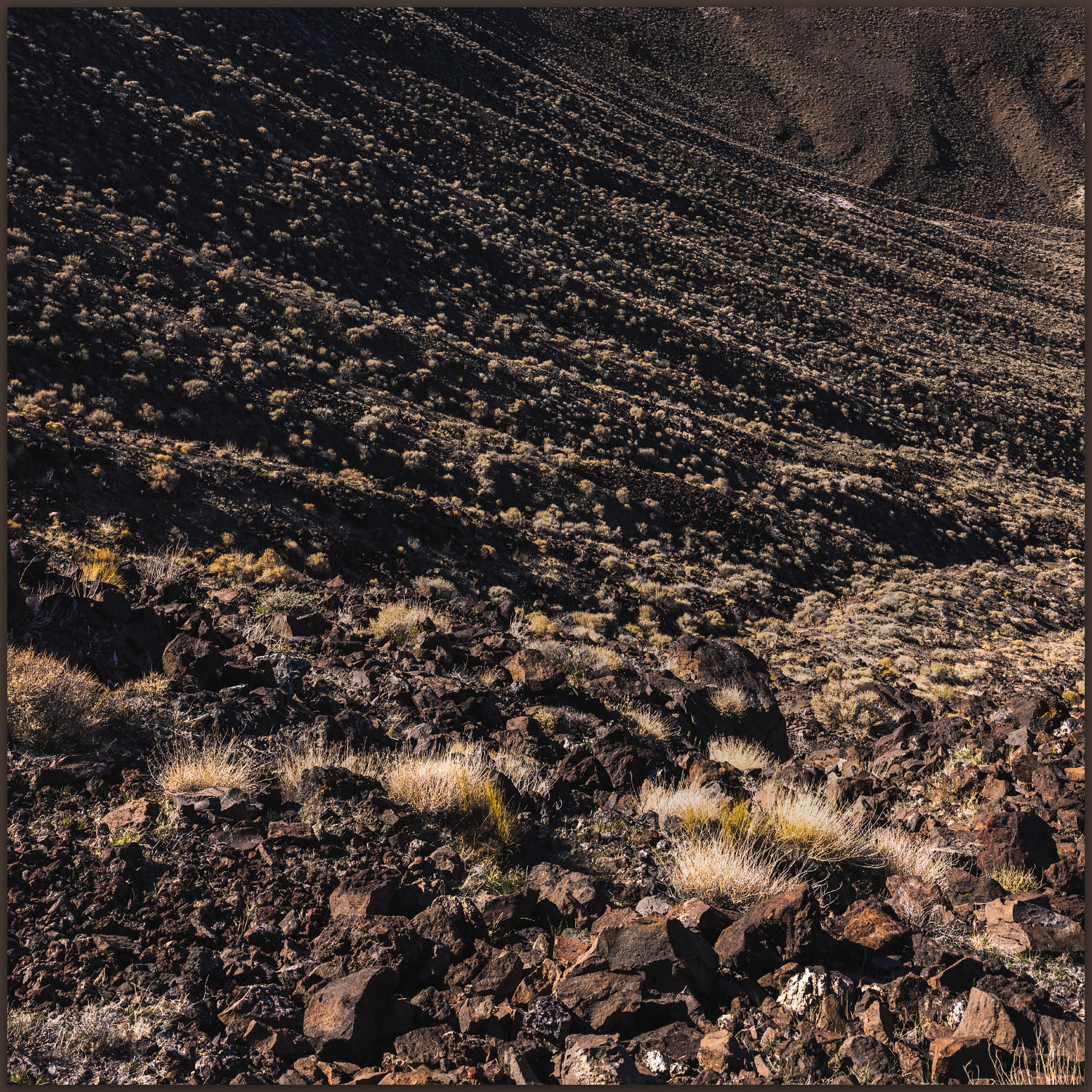
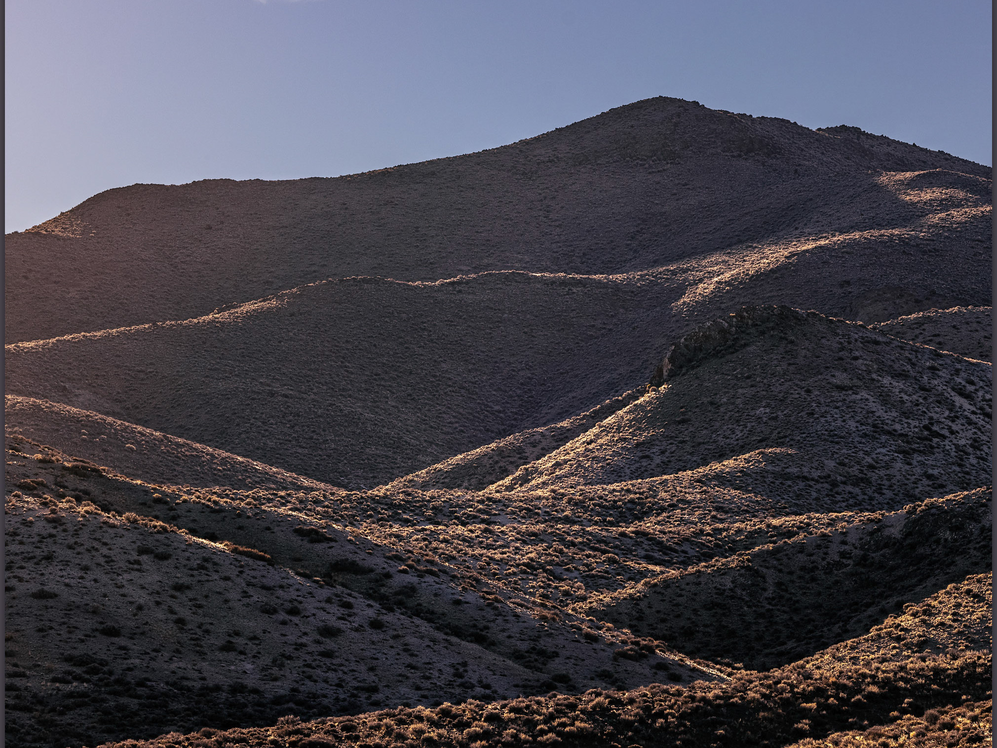
Rills. Colluvial ramps below the scarp of Cocoon Mountains, Great Basin Desert, NV, USA
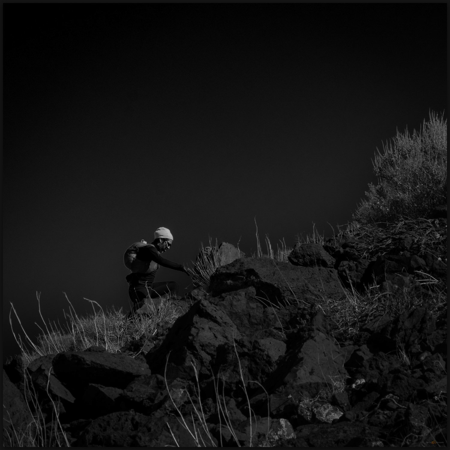
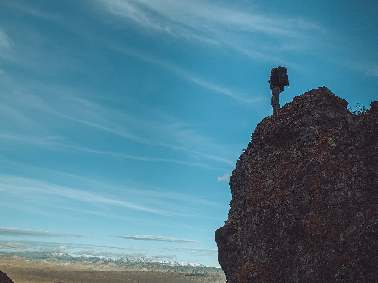
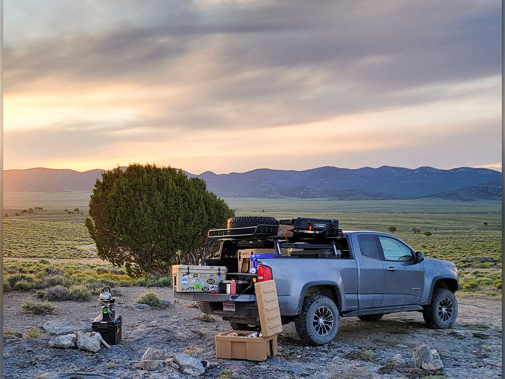
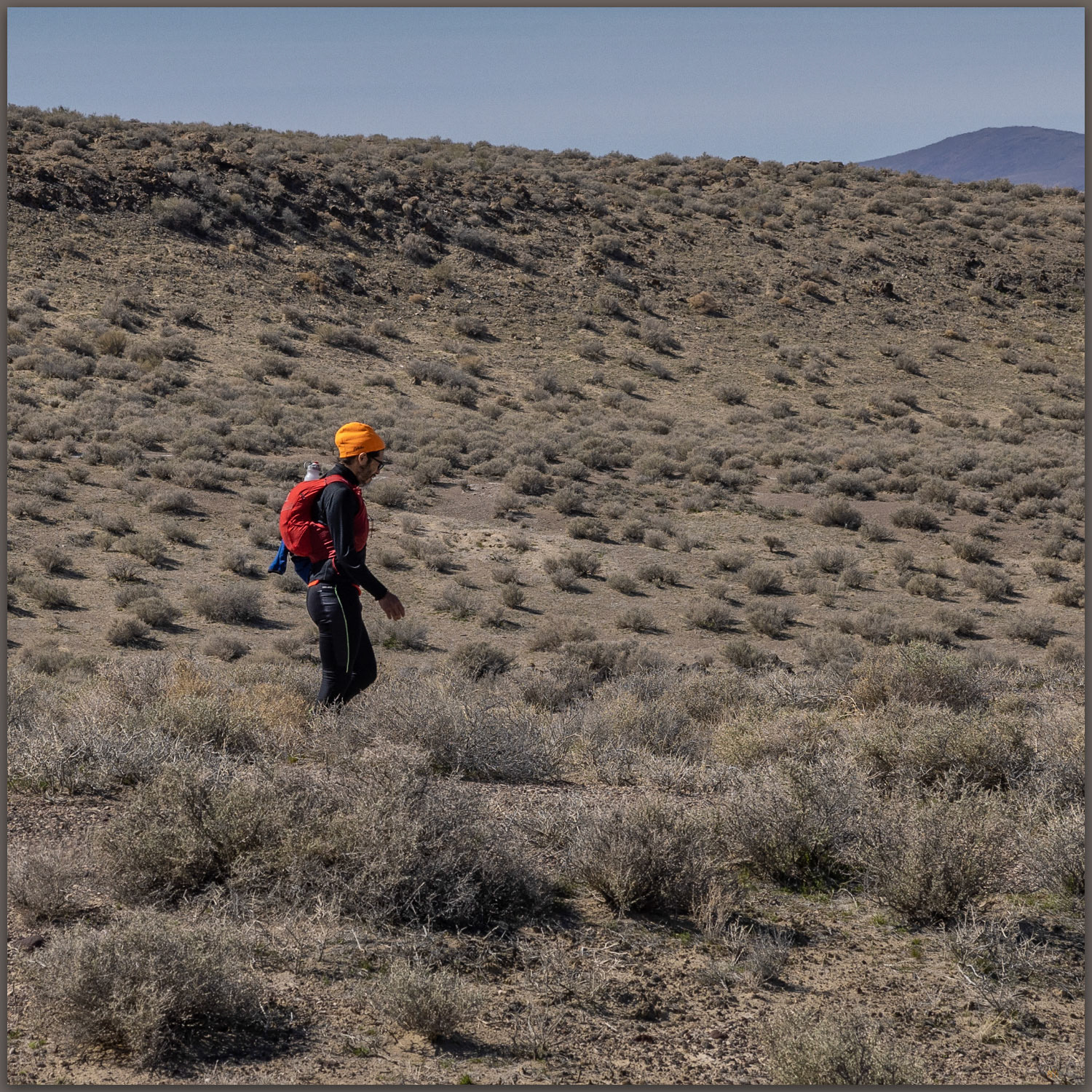
Hiking through. Robert on the western slopes of the Cocoon Mountains, Great Basin Desert, NV, USA
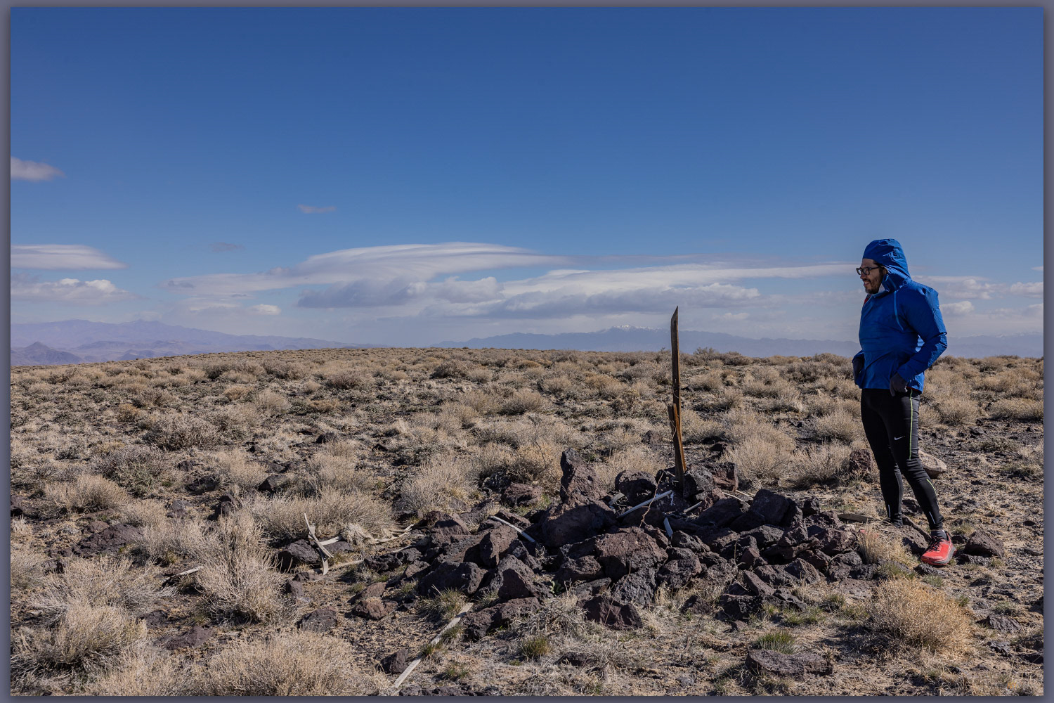
Alkali marker. The summit map station, labeled 'Alkali', Cocoon Mountains, Great Basin Desert, NV, USA
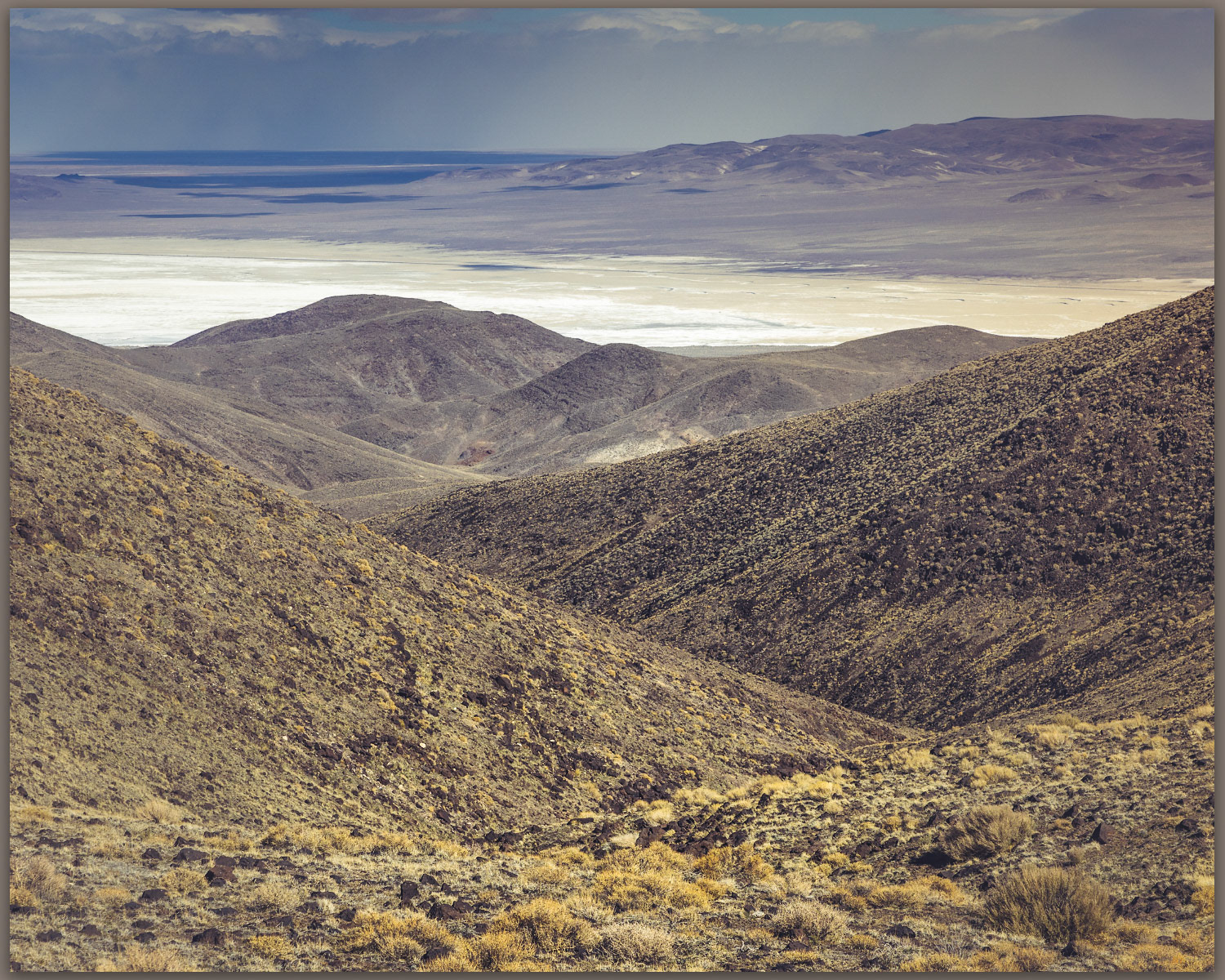
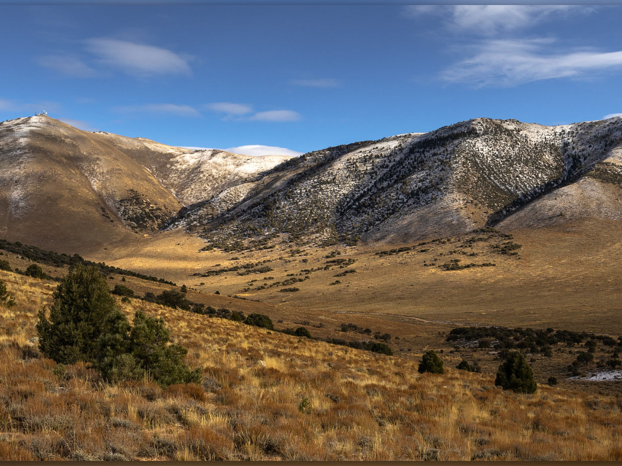
Winding out. Canyon above Eightmile Flat, Cocoon Mountains, Great Basin Desert, NV, USA
Walking out. Robert on sandy lower slopes of the Cocoon Mountains, Great Basin Desert, NV, USA

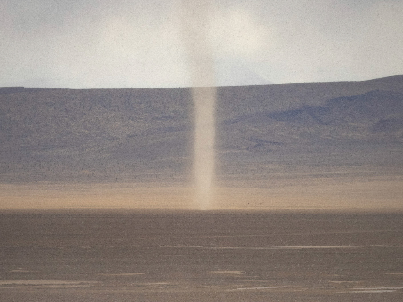
Aeolian motion. Dunes of the Blow Sand Mountains from the summit of Cocoon Mountains, Great Basin Desert, NV, USA
Pleaser respect the natural and cultural resources of our public lands.